

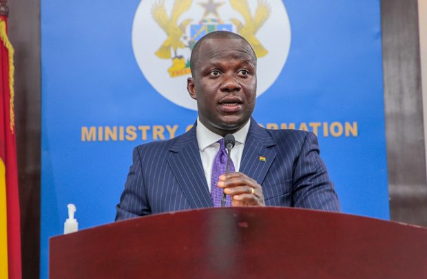
Samuel A. Jinapor
MINISTER FOR Lands and Natural Resources, Samuel A. Jinapor, says there has not been enough investment in seismic monitoring to determine real time occurrences of earthquake and tremors, in spite of a seismicity map of the country showing that the south-eastern parts of Ghana is most prone to volcanic activities.
He stated that the first seismic instrument in the country, Milne’s single-boom seismograph, was installed in 1914 and operated until 1937, when readings were discontinued on financial grounds.
Making a statement on a series of earth tremors that occurred in parts of the Greater Accra Region on December 12, 2022 in Parliament, the minister said preliminary investigations by the Ghana Geological Survey Authority (GGSA), revealed three significant occurrences at 11:49am, 11:53am and 11:58am, with magnitudes of 2.3, 3.6 and 2.2 respectively.
According to him, the epicentre of the tremor was located around the Weija area, between Wiaboman and Bojo Beach, about 575m in the territorial waters of Ghana from the baseline of the sea.
“The impact of the tremor was highly felt in Dansoman, Mateheko, Weija, and surrounding areas. Areas far from the epicentre, such as Legon, Amasaman and Accra Central, including the Ministries, Parliament House, the Court Complex and the Supreme Court, also felt the impact, though slightly,” he disclosed.
“Mr. Speaker, the impact temporarily brought business activities in these areas to a halt, with some members of the public trooping to the office of the Ghana Geological Survey Authority,” he added.
He said the Authority, which had earlier dispatched technical officers to the monitoring stations, responded swiftly by providing information on the tremor to the public, through a press briefing and, subsequently, a press statement.
“The Authority, also, seized the opportunity to educate the public on some safety measures to follow in the event of such occurrences,” the minister said.
He pointed out that the country operated without a seismic instrument until 1973, when a Geotech Long Period Z Component Seismograph was installed in Kukurantumi to record distant earthquake events.
“Threats of earthquakes in the country compelled the then Government to install an analog seismic network in 1987 to record various levels of local earthquakes in the southern part of the country, but this instrument is outmoded and no longer operational.
“Today, there are eight (8) network seismic monitoring stations, located in Akosombo, Asankragua, Ho, Kukurantumi, Lake Bosomtwe, Saltpond, Shai Hills, and Weija. These stations are connected to the National Seismic Observatory at Achimota by satellite transmission, and are intended to provide real time data on earth movements,” he intimated.
He said unfortunately, the satellite transmission had not operated optimally, making it difficult for the Ghana Geological Survey Authority to provide real time information and advice on earthquake and tremors.
He pointed out during the recent earth tremor, technical officers had to manually retrieve data for analysis to inform the nation.
“Indeed, following the December 12 incident, three other occurrences have been recorded, two on December 16 around the Wiaboman and Panbros areas, and one on December 17, around the Kokrobite area. These occurrences were about two to three kilometres away from the baseline of the sea, and the impact was almost negligible,” he intimated.
He asserted that the government had been concerned about the recent occurrences of earth tremors in the country, adding, “On March 12, 2019, the Government inaugurated a 10-member committee to examine the issues of earthquakes and tremors, and draw up a Framework for Refocusing Ghana’s Earthquake Preparedness and Response.
“As part of the Earthquake Preparedness and Response, the Ghana Geological Survey Authority was tasked to revamp the Digital Seismic Network for real time monitoring for early response. GGSA has since been working with the relevant agencies, to revamp the national seismic network and early warning systems, to provide real time monitoring and information.
“Already, discussions are far advanced with Nanometrics Incorporation of Canada, manufacturers of the existing monitoring equipment, to convert the satellite system of data transmission to cell modem transmission system, using local telecommunication sim cards.
“The sim card transmission system has proven to be more reliable and easier to operate, and we are working with the Ministries of Finance and Communications and Digitalisation, to facilitate and expedite this transition,” he said.
BY Ernest Kofi Adu, Parliament House